Our Land
Three Historic Properties Along the Stones and Duck Rivers
Stone Duck Farms—named for the Stones River and Duck River that flow through our properties—comprises three distinct properties, each with its own unique character and history. Together, they represent over 200 years of continuous agricultural stewardship in Middle Tennessee. From the rolling hills along Thompson’s Creek to the fertile bottomlands of the Stones River and Duck River, our farms benefit from the natural resources that have sustained families and livestock for generations.
The Johnson Farm (Silo Hill)
📍 Bedford County | Thompson’s Creek Rural Historic District
Originally established by Adam and Turley Euless in 1824, this property has been recognized for its historical significance within the Thompson’s Creek Rural Historic District. Through the Johnson family line, the farm represents one of the earliest settlements of German Lutheran families in Middle Tennessee. The family has named a distinctive section of the property “Silo Hill” for the steep hill with a silo at its base—a field that was bisected when Normandy Road cut through, dividing what was once the old house’s front yard.
🏞️ Topography
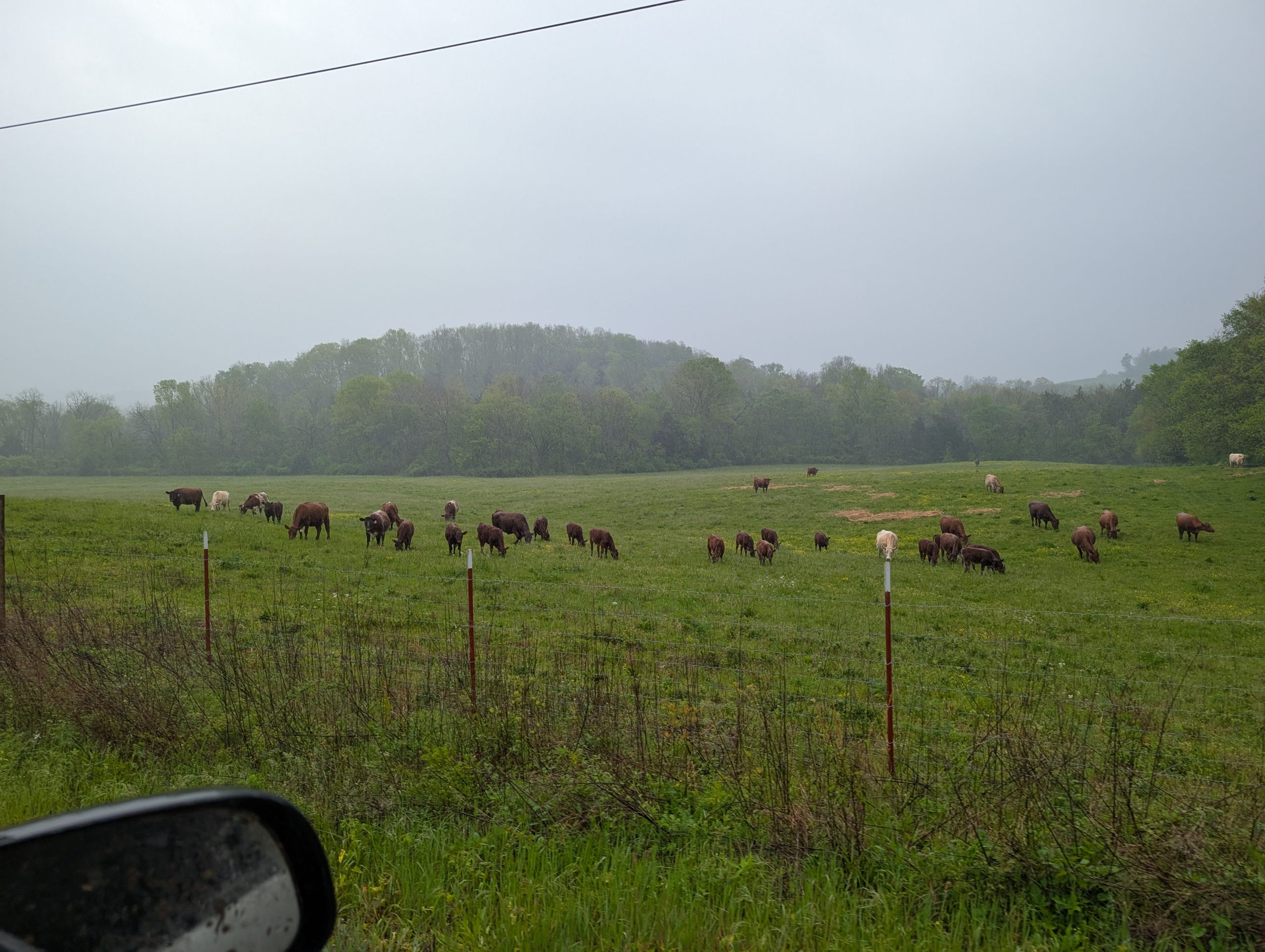
Gently rolling hills with mixed pastureland and timber, characteristic of the Nashville Basin’s outer edge.
💧 Water Resources
Thompson’s Creek flows through the property. Mixed water sources support diverse agricultural operations.
🌳 Natural Features
Thompson’s Creek flows through the property. Mature hardwood stands and open pastures provide diverse habitat.
🏛️ Historic Structures
Original milk barn and stone silo still standing. The Greek Revival home site remains on Normandy Road.
The Aunt Bet Farm
📍 Bedford County | Along the Duck River
Named for Bettie Ayers (1845-1934), wife of James “Jim” Ayers (1845-1919), this property has been in the Ayers family since the mid-1800s. Located along the Duck River—which gives Stone Duck Farms half its name—the farm encompasses the Three Forks Cemetery where Bettie and other family members rest. The property sits near the site of the historic Three Forks Cumberland Presbyterian Church and the family’s Three Forks Mill, whose dam’s remnants remain in the river. An original Ayers home still stands on the property, though time has taken its toll on the structure.
🏞️ Topography
Duck River bottomland and upland pastures. Rich alluvial deposits from the river create exceptionally fertile soils.
💧 Water Resources
Duck River frontage provides abundant water. Remnants of the family’s Three Forks Mill dam remain in the river nearby as a testament to the family’s early industrial enterprise.
🌳 Natural Features
Riverside woodlands and diverse habitat. Original homestead and Three Forks Cemetery preserve family history on the land.
🏛️ Historic Structures
Original Ayers home still stands on the property. Three Forks Cemetery and church site preserve the family’s spiritual heritage and early settlement history.
The Holden Farm
📍 Rutherford County | Along the West Fork of Stones River
Situated along the west fork of the Stones River—which gives Stone Duck Farms the first half of its name—ten miles south of the intersection of I-24 and Highway 231 South, approximately 3.5 miles north of Midland. The Holden Farm’s location along the river has provided rich bottomland soils and abundant water resources for over 160 years of continuous agricultural production.
🏞️ Topography
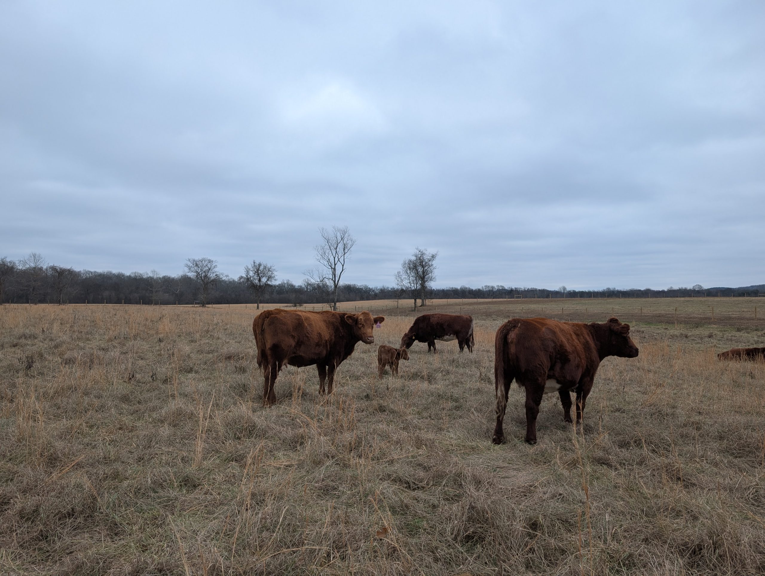
River bottomland transitioning to upland pastures. Rich alluvial soils deposited by centuries of seasonal flooding.
💧 Water Resources
West Fork of Stones River borders the property. Natural springs on the “front part” acquired in the 1960s provide additional water sources—one spring’s origin remains a mystery to this day.
🌳 Natural Features
Riverside woodlands provide wildlife habitat and timber resources. Open pastures benefit from river valley microclimates.
🏛️ Historic Structures
Two-story loft barn built 1935-1937, survived three tornadoes. Community landmark and testament to craftsmanship.